|
Description of Web Interface
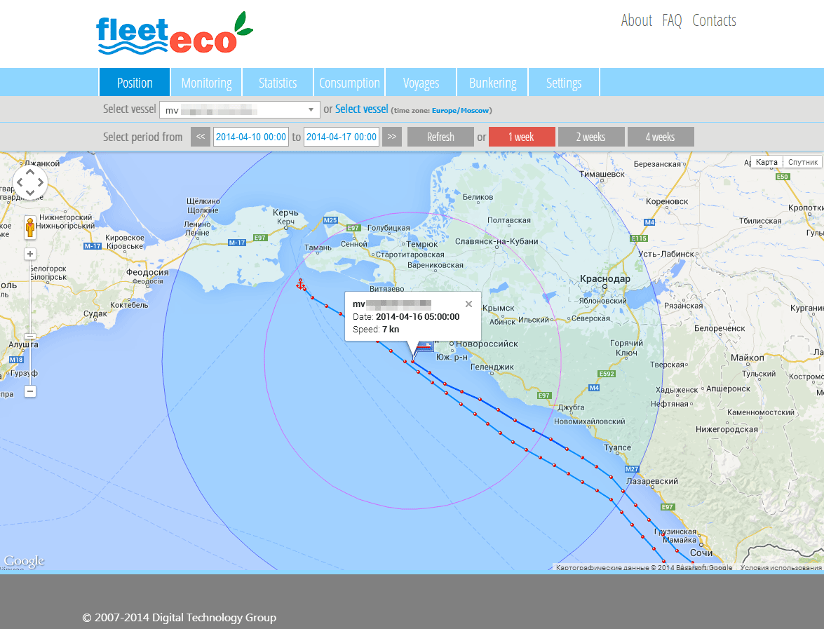
«Position»
The Position section provides a map showing the location of the ship selected. Use the mouse wheel or the + and - buttons in the upper left corner of the screen to scroll. Default scale and map size can be set in «Settings»-«Interface».
The ship's course is shown by a blue line with dots on it representing hourly locations. Waypoints are indicated by an anchor symbol. Click on any dot for information on ship's movement.
Below the map is the date panel. To see the ship's location at a different point in time, select the date on the panel (and time, if desired) for the start of the time period, the end date and click "Refresh". The page will be refreshed. It is not recommended that a time period of more than 60 days (2 months) be selected as the page will load very slowly. To see information for the last 4 weeks, click on «4 weeks».
|